Quetzaltenango
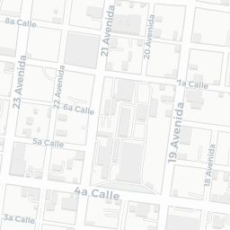
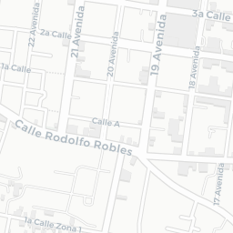
Quetzaltenango, commonly referred to as Xela (pronounced "SHAY-lah"), is the second-largest city in Guatemala and serves as the capital of the Quetzaltenango Department. Situated in the country's western highlands, the city sits at an elevation of about 2,330 meters (7,640 feet) above sea level, offering a cool, temperate climate year-round. Xela is nestled within a valley surrounded by mountains and volcanoes, including the prominent Santa María Volcano, making it an ideal location for hiking and exploring natural landscapes.
Quetzaltenango is considered a major cultural and educational hub in Guatemala. The city boasts a rich historical heritage, blending indigenous traditions and European influences that can be seen in its architecture, festivals, and vibrant local culture. Xela is home to several universities and educational institutions, drawing students from across the country and from abroad. The Central Park, bordered by neoclassical buildings, serves as a focal point for community events and social gatherings.
Economically, Quetzaltenango is known for its small and medium-sized enterprises, agricultural activities, and a growing service sector. The local economy is bolstered by connections to indigenous communities in the surrounding highlands, where traditional crafts and markets play a significant role. Xela is increasingly popular with tourists for its Spanish language schools, cultural experiences, and eco-tourism opportunities, making it a dynamic city that bridges Guatemala's past and present.


